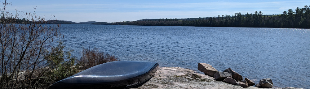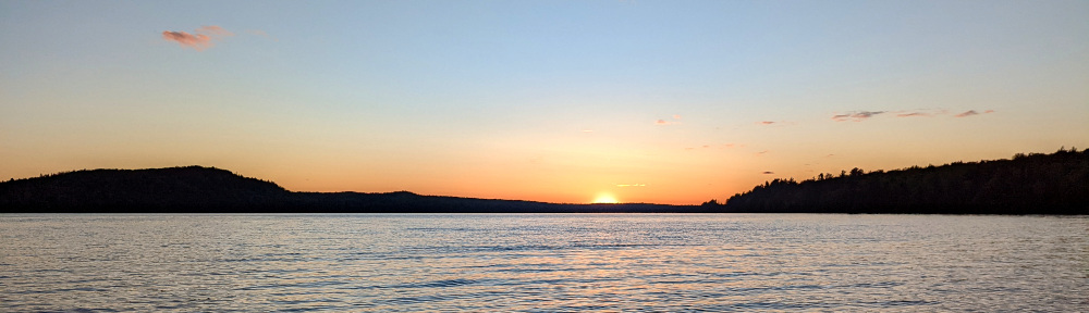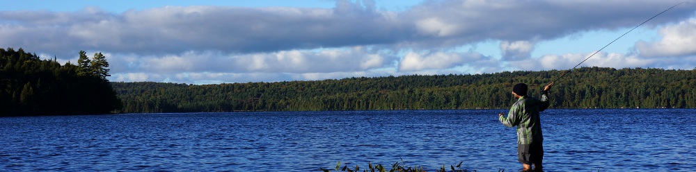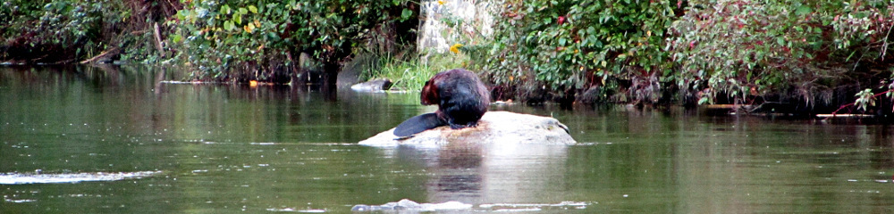
A few weeks ago, I did a short 3-day backcountry trip to the Dunlop Lake area in Algoma. This was a combination of an exploratory, fishing and unwinding trip. Being the second week of July, it wasn’t the ideal time to be trout fishing lakes, especially with a fly rod. We were also still under a fire ban, so there would be no campfires to help ward off the hoards of mosquitoes.
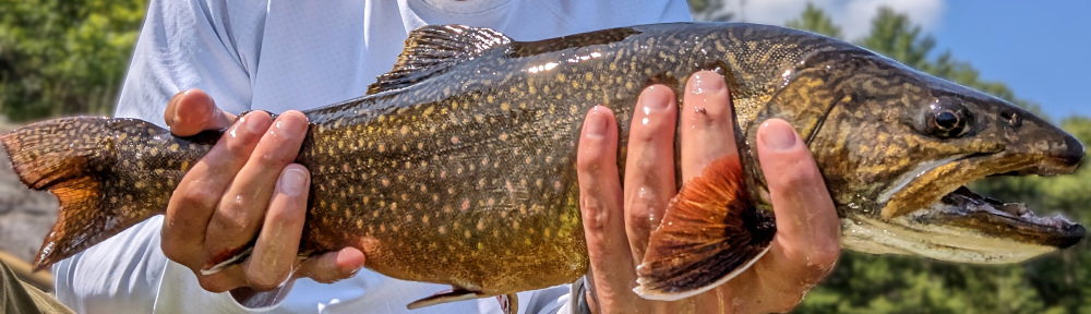
It was another super enjoyable trip. Despite the overall slow fishing, I still managed to get into a couple nice trout. Check out the full trip report below.
July 2023: Dunlop Lake Loop
A 3 day loop through some Algoma country back lakes