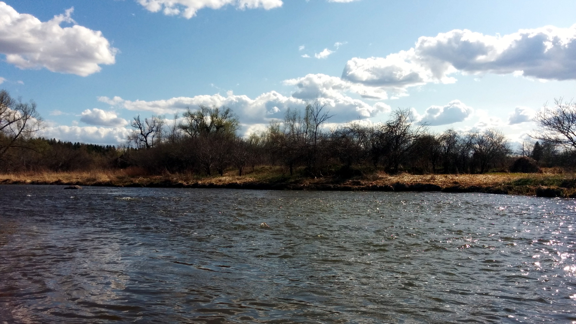
The Credit River in southern Ontario flows from its headwaters near Orangeville and eventually empties into Lake Ontario in Port Credit.
The river can generally be divided into three sections:
- The upper section, upstream of Old Baseline Road in Caledon – primarily a special regulations resident trout fishery.
- The middle section, from Old Baseline Road downstream to the Norval Dam – may see the odd stray Brown Trout, but is generally not suitable for resident trout.
- The lower section, from Norval Dam downstream to Lake Ontario – mainly a migratory steelhead and salmon fishery. Below Streetsville Dam, there may be other fish species, such as Smallmouth bass.
Upper River (see: Hatch Chart and Insect Reference)
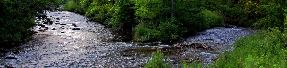
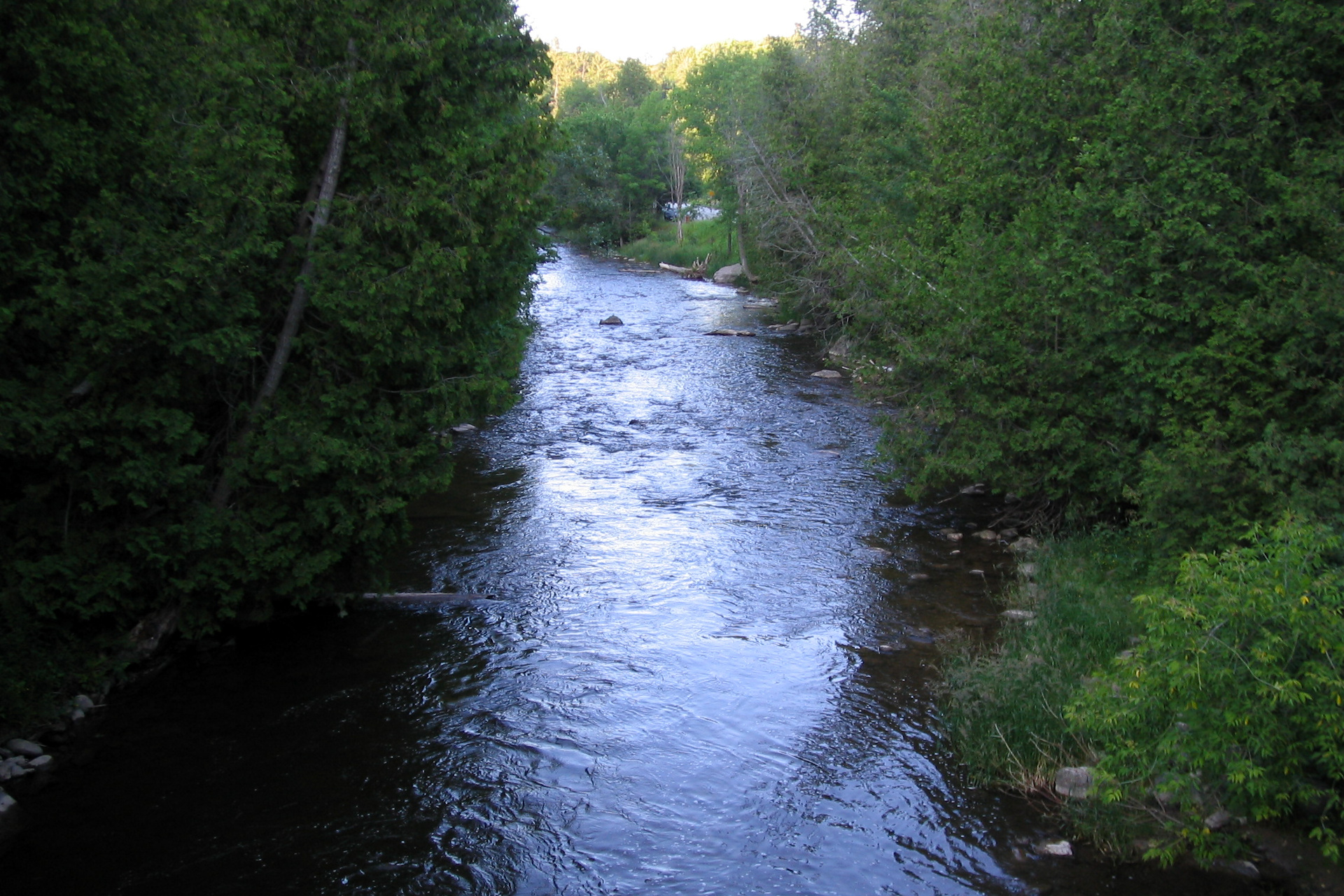
The upper Credit River offers some of the most unique, pristine and picturesque fly fishing for wild trout in southern Ontario. The special regulations trout waters in the town of Caledon are home to wild, self-sustaining populations of Brown Trout and Brook Trout.
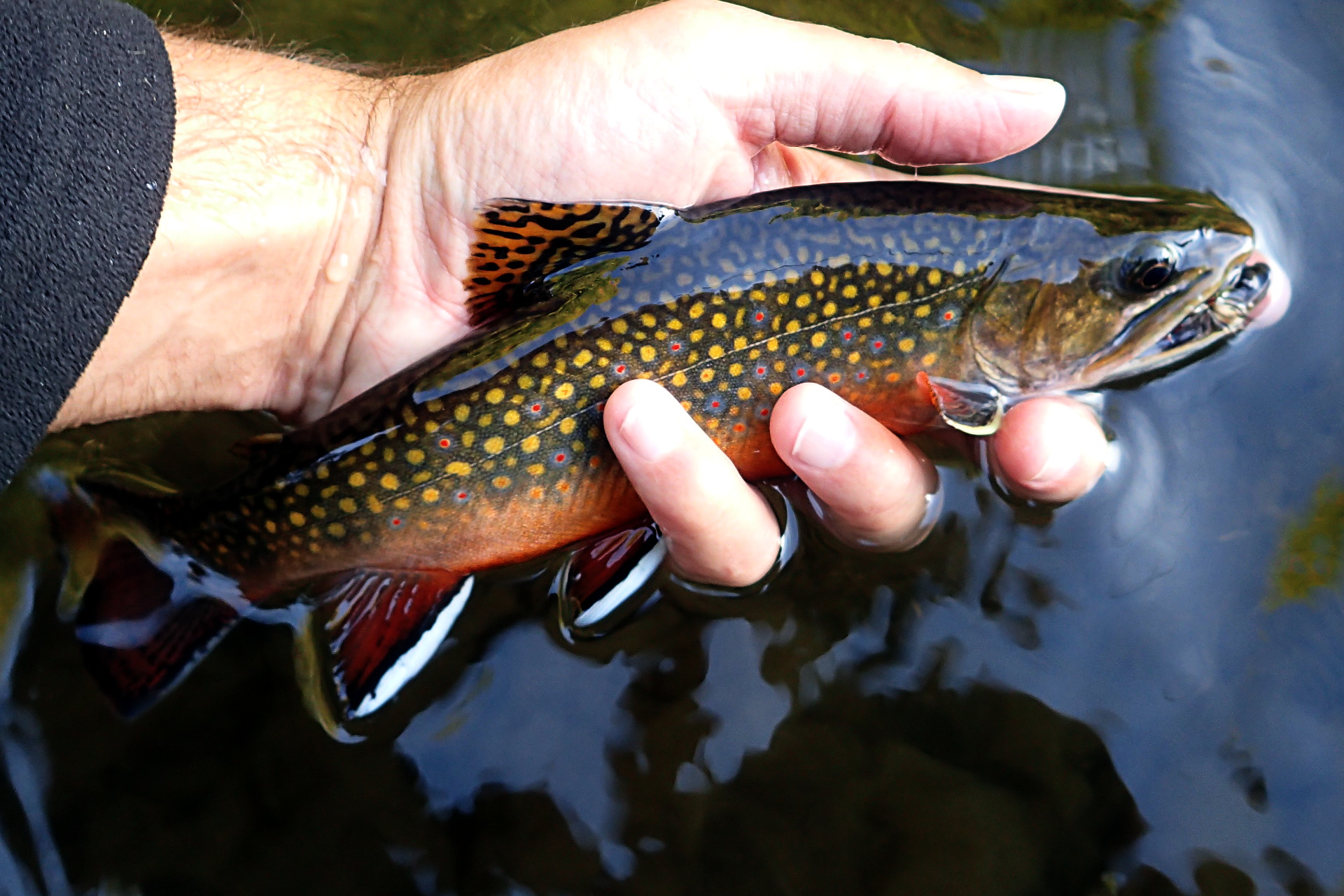
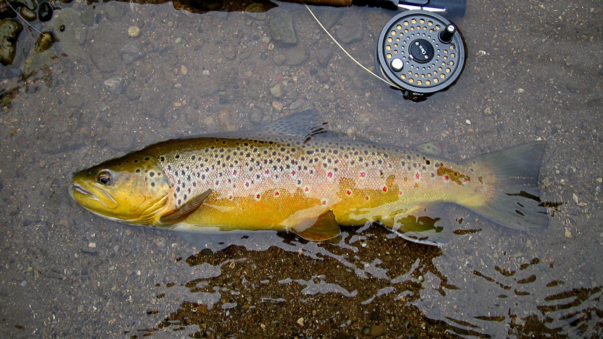
Brook trout are native to this section and Brown trout were successfully introduced in the early 1900s and have been wild and self-sustaining ever since.
In addition to Brook and Brown trout, the Ontario MNR have been stocking millions of yearling Atlantic Salmon into the upper river for decades, in an attempt to try and re-introduce Atlantic Salmon to Lake Ontario. These small fish can sometimes be mistaken for small brown trout, though they are generally easy to differentiate as they are typically a paler (silvery) colour and much more aggressive. The Atlantic Salmon stocking has been a big point of controversy, as many long-time anglers on the upper river claim that the over-saturation of these fish have helped displace and out-compete many of the existing wild trout. Also, despite the millions of fish stalked over a long period, there has only been very marginal success with respect to returning adult fish.
Anglers may also catch the occasional Rainbow Trout on the upper river. These fish are not known to be wild or self-sustaining in the river, although it’s possible there is a limited amount of reproduction happening. It’s thought that most Rainbows are escapees from some ponds along sections of the river.
The upper river itself can be further divided into three distinct sections.
Upper River: Above Cataract Falls
Above the Cataract Falls in Forks of the Credit Provincial Park, Brook Trout reside in relative isolation. If there’s still a place to catch a trophy-sized native Brook Trout in southern Ontario, this is the spot.
Still, despite their isolation from other competing fish, brook trout numbers have been decreasing here over the last couple of decades. This is mainly due to climate change, affects of upstream urbanization and some poaching. The Greg Clark chapter of Trout Unlimited Canada have recently been doubling down on rehabilitation of parts of this section to attempt to improve habitat and numbers here.
Upper River: Below Cataract Falls
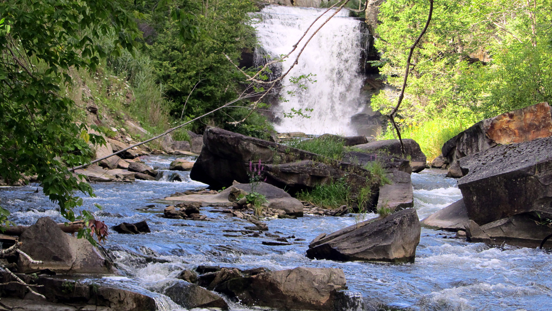
As the river cascades over the Cataract falls in the Forks of the Credit Provincial Park, Brook Trout mix with the highly sought-after Brown Trout. First introduced in the early 1900’s due to their popularity among anglers and and increased threshold to warmer water, these Brown Trout were last stocked in 1962 and have since been completely wild and self-sustaining. They have co-existed with brook trout in the river since their introduction and are the primary target for catch and release fly fishermen on the upper Credit, due to their size and elusiveness.
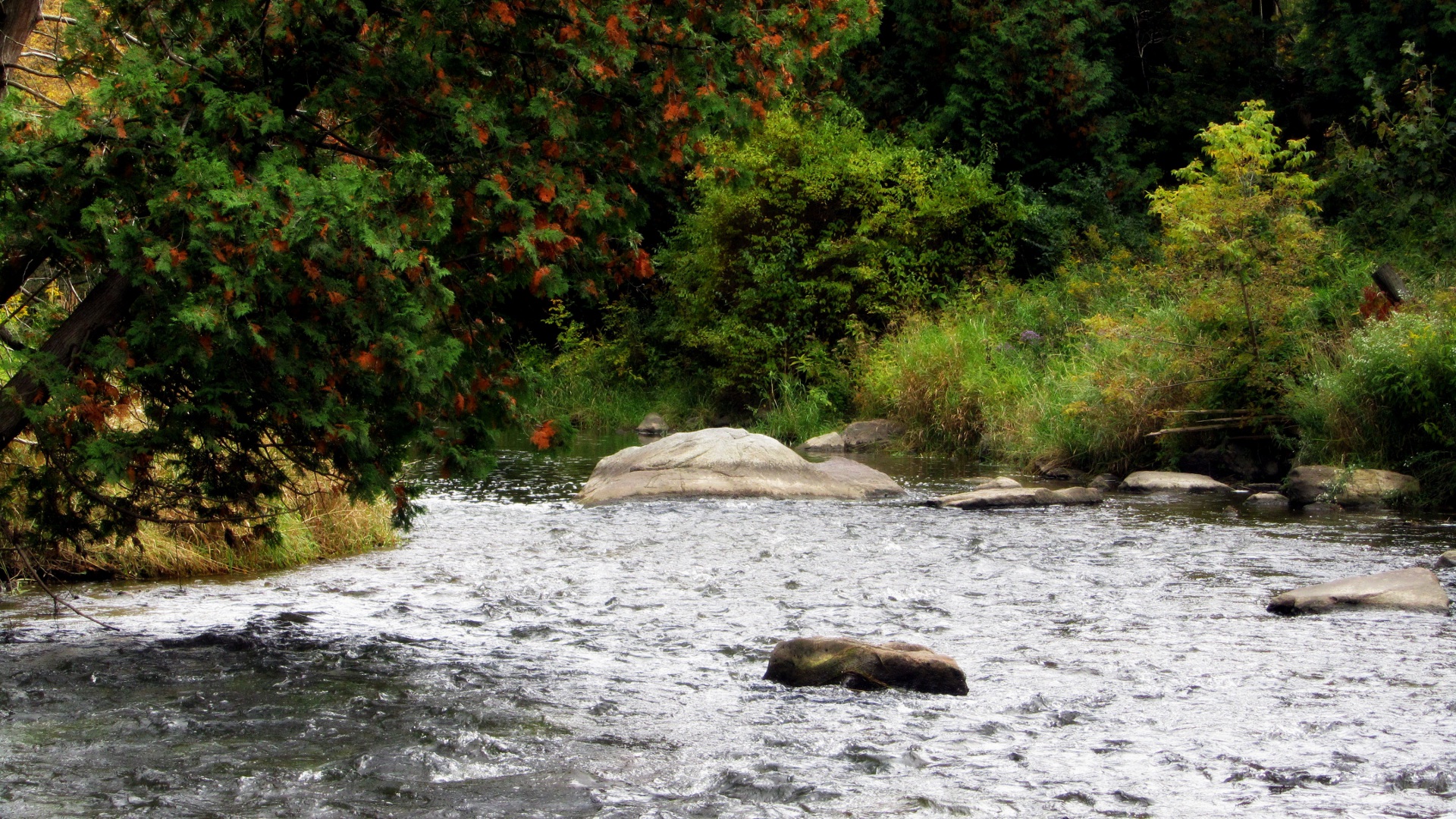
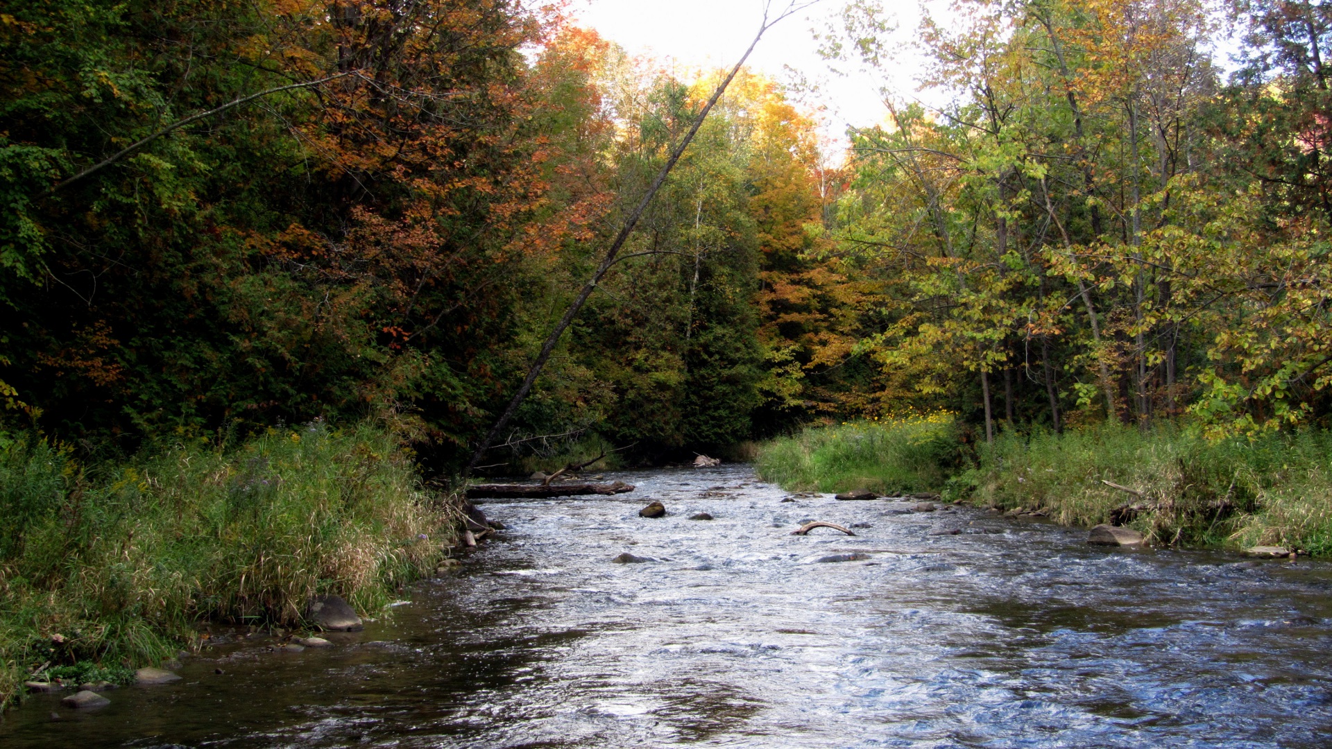
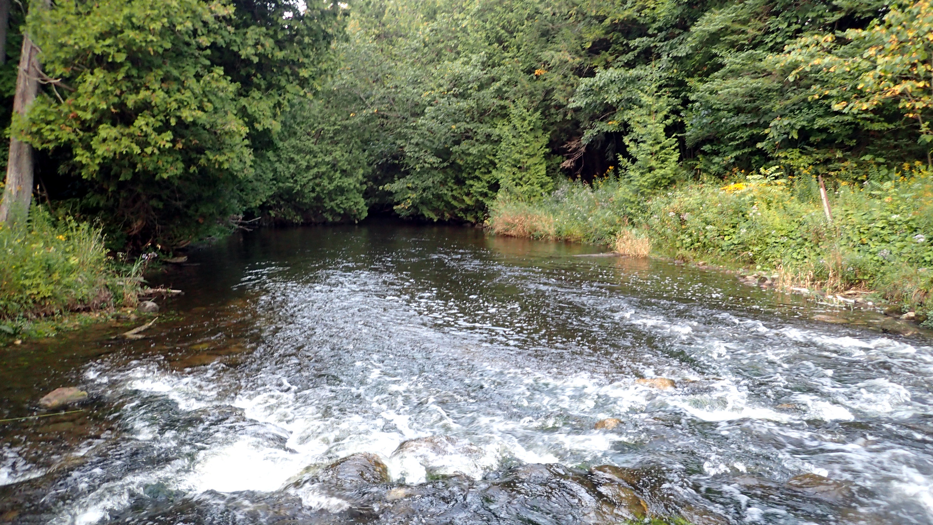
There is a large variety of different water in this section, ranging from faster moving pocket water near the cataract, to milder gradients with nice mixes of riffles, runs and bend pools throughout the Forks of the Credit Provincial Park section (usually referred to as the “Meadows”) and slower moving sections with some deeper pools in the more downstream sections.
Due to increasingly warmer water temperatures within the more downstream sections, Brook Trout are found in higher densities the closer one gets to the falls, where the water is colder and cleaner. Despite the trend of climate change and increasing warmer water temperatures (and the Brown Trout’s higher resilience to it), the MNR has been on somewhat of a mission to eradicate the browns from this section, claiming they threaten the native brook trout and stocked atlantic salmon. One has to wonder what will be left of this river if the MNR is successful, given that brook trout will much sooner struggle to survive the water changes and atlantics essentially have no access to return to the upper river even IF they were to be successfully re-introduced in any significant numbers (which still has not happened after decades and tens to hundreds of millions of stocked fish).
Upper River: West Credit
The West Credit river’s headwaters originate around Hillsburgh and flow through the town of Erin before meeting with the main branch of the Credit River along the aptly named Forks of the Credit Road.
While the upper reach of the main branch above the cataract may host some of the largest brook trout on the Credit, this section is arguable the most healthy remaining brook trout factory on the entire river system. Fish are generally smaller in size, but in heavier concentration. It is mostly 100% brook trout as well, with the odd stray brown trout and rainbow trout.
The recently approved Erin Wastewater Treatment Plant has already begun construction and will discharge its treated effluent directly into the West Credit, impacting the existing and sensitive spawning brook trout. This has a high likelihood to completely decimate one of the last remaining and thriving native wild brook trout populations left in southern Ontario.
Middle River
The section of river below Old Baseline Road downstream to Norval is easily the least productive section of river. Summertime temperatures in this section exceed the thresholds required for resident trout and the Streetsville and Norval dams prevent any warm water species from reaching this section.
Still, this section may occasionally produce the odd Brown Trout or Brook Trout, either due to temporary spring migration from the upper river, or sometimes from limited stocking. It’s a shame there is not more fishing opportunities in this section, as there are some very nice holes on parts of the river here.
Lower River
The lower river, below the town of Norval, offers good migratory Steelhead and Salmon fishing in the spring and fall.
Due to the presence of two major dams on this section, namely the Streetsville and Norval dams, migratory fish do not have free access to the entire river. Steelhead, salmon and some lake run Brown Trout are manually lifted over Streetsville dam. A much smaller number of steelhead pairs are then lifted from Norval dam and transplanted in some of the smaller and healthier tributaries of the Credit to aid in successful spawning. Due to this, the number of fish that are able to successfully spawn in the river is rather limited. Still, some productive days can be had on the lower river for these species.
The most popular access point (which is open year round) is Erindale Park in Mississauga. There are some additional opportunities upstream of Erindale to highway 407 that are open for an extended season until December 31st. The upper stretches to Norval are open only during normal trout season (4th Saturday in April until the end of September).
Always check the latest Ontario Fishing Regulations for specifics, since they can change at any time.